DJI to ingest EASA geo-awareness data for C1–C3 drones in Europe
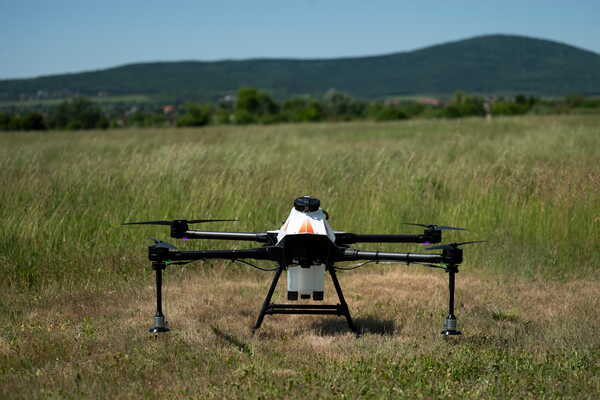
DJI C1–C3 drones in Europe will soon source geo-awareness airspace zones via EASA’s harmonised framework using official national authority data.


Key facts
- DJI drones with C1, C2 or C3 class labels in Europe will soon receive airspace and geographical zone information via EASA’s harmonised geo-awareness framework.
- The change follows a new cooperation between EASA and DJI focused on using only official airspace data published by national aviation authorities.
- The update is framed as a change to DJI pilots’ map display and geo-awareness information sourcing.
3 minute read
The source indicates that DJI and EASA have entered a cooperation under which DJI drones with C1, C2 or C3 class labels operated in Europe will “soon” receive airspace and geographical zone information directly via EASA’s harmonised geo-awareness framework. The explicit intent is to ensure drones rely exclusively on official airspace data published by national aviation authorities, rather than a mixture of vendor-curated layers, third-party mapping products, or incomplete local datasets that can diverge from authoritative publications.
For European defence and security stakeholders, the immediate implication is not a kinetic capability shift but an information-control and compliance mechanism maturing inside the continent’s dominant commercial UAS ecosystem. Harmonised, authority-fed geo-awareness in DJI’s map display can tighten adherence to UAS geographical zones, potentially reducing inadvertent incursions into restricted areas and creating more consistent operator behaviour across member states. Conversely, it may also make geo-awareness changes propagate faster to end users, which matters for critical infrastructure protection, event security, and the management of temporary restrictions if national authorities publish updates into the EASA-connected pipeline.
Procurement and operational planners should note the signalling effect: EASA is moving from rulemaking toward influencing how airspace constraints are represented in OEM interfaces—an area that frequently determines what operators actually do in the field. If implemented broadly, this could change how incident investigations attribute fault when pilots claim mis-displayed zones, shifting emphasis toward the provenance and timeliness of national authority data feeds and the OEM’s ingestion logic. The source does not specify rollout dates, affected apps/firmware, geographic scope across member states, or whether the change modifies enforcement features versus display-only geo-awareness; these details will determine practical impact for professional fleets and public-sector users.
Source: DroneWatch.eu