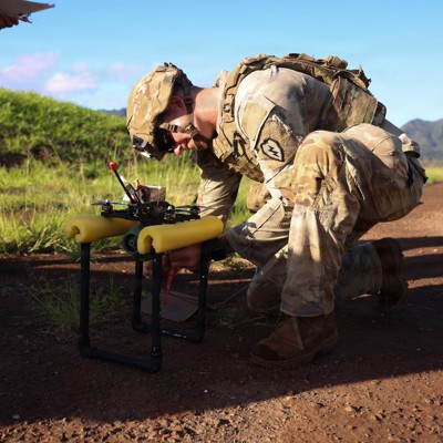
Meteomatics ‘Strato’ targets balloon replacement with 10.4 km reusable met drone
Meteomatics’ reusable Strato multicopter claims 10.4 km altitude and targets recurring radiosonde balloon costs, but European scaling will hinge on controlled-airspace integration and certification.


Key facts
- Meteomatics says Strato reached 34,245 ft (10,438 m) and is designed to return and be reused.
- The firm reports -65°C encountered during testing and uses onboard temperature sensors to manage thermal limits.
- Meteomatics estimates conventional balloon soundings cost about USD 200–300 per launch, or roughly USD 150,000–200,000+ per station per year at twice-daily launches.
3 minute read
Meteomatics has launched Strato, a reusable high-altitude multicopter intended to replace parts of the century-old radiosonde balloon model by repeatedly collecting upper-air observations and recovering to base. The company claims a record-reaching operating altitude of 34,245 ft (10,438 m), putting the system into the upper troposphere/lower stratosphere regime relevant to numerical weather prediction inputs and aviation weather products. The core thesis is that weather services can reduce recurring consumables spend inherent in balloon soundings and instead amortise a reusable platform over a multi-year life.
From an engineering standpoint, Meteomatics describes the central constraint as rotorcraft performance in very low-density air and high winds. It reports using a mix of software simulation, wind-tunnel testing and vacuum-chamber trials to converge on a propulsion design, and notably states that a four-rotor configuration outperformed a heavier six-rotor alternative in efficiency and endurance at altitude—an insight with implications for payload/energy budgeting in similar European high-altitude UAS concepts. The firm also highlights operations in extreme cold, citing test conditions down to -65°C and a thermal-management strategy relying partly on internal heat generated by high electrical power draw, monitored via distributed temperature sensors in the battery, fuselage and motors.
Operational integration is presented as a gating factor. Meteomatics states that flights to 30,000+ ft require coordination with air traffic control due to transit through commercial corridors, and that it is incorporating transponder technology alongside automated detect-and-avoid capabilities to maintain visibility and mitigate collision risk. For Europe, the immediate implication is that any scaling beyond test ranges will be constrained by national airspace permissions, cross-border harmonisation challenges, and the maturity of high-altitude UAS procedures within EASA-aligned frameworks—particularly if such systems are to be used routinely near busy civil routes rather than in segregated areas.
Economically, Meteomatics argues that a typical station launching twice daily can spend roughly USD 200–300 per flight in consumables, equating to USD 150,000–200,000+ per year per location, and that reusability changes the cost structure toward capital expenditure with claimed payback within the first year and savings over a 5–10 year lifespan. If validated at scale, this model could interest European national meteorological services and defence weather organisations seeking persistent, locally taskable upper-air data without the logistics footprint of continuous balloon supply—while also raising procurement questions around certification, reliability metrics, and assured airspace access for routine operations.
Source: The Drone Girl